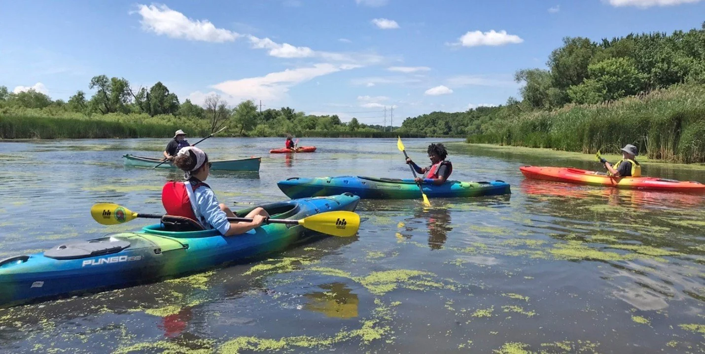
Restoring the West Branch of the Little Calumet River
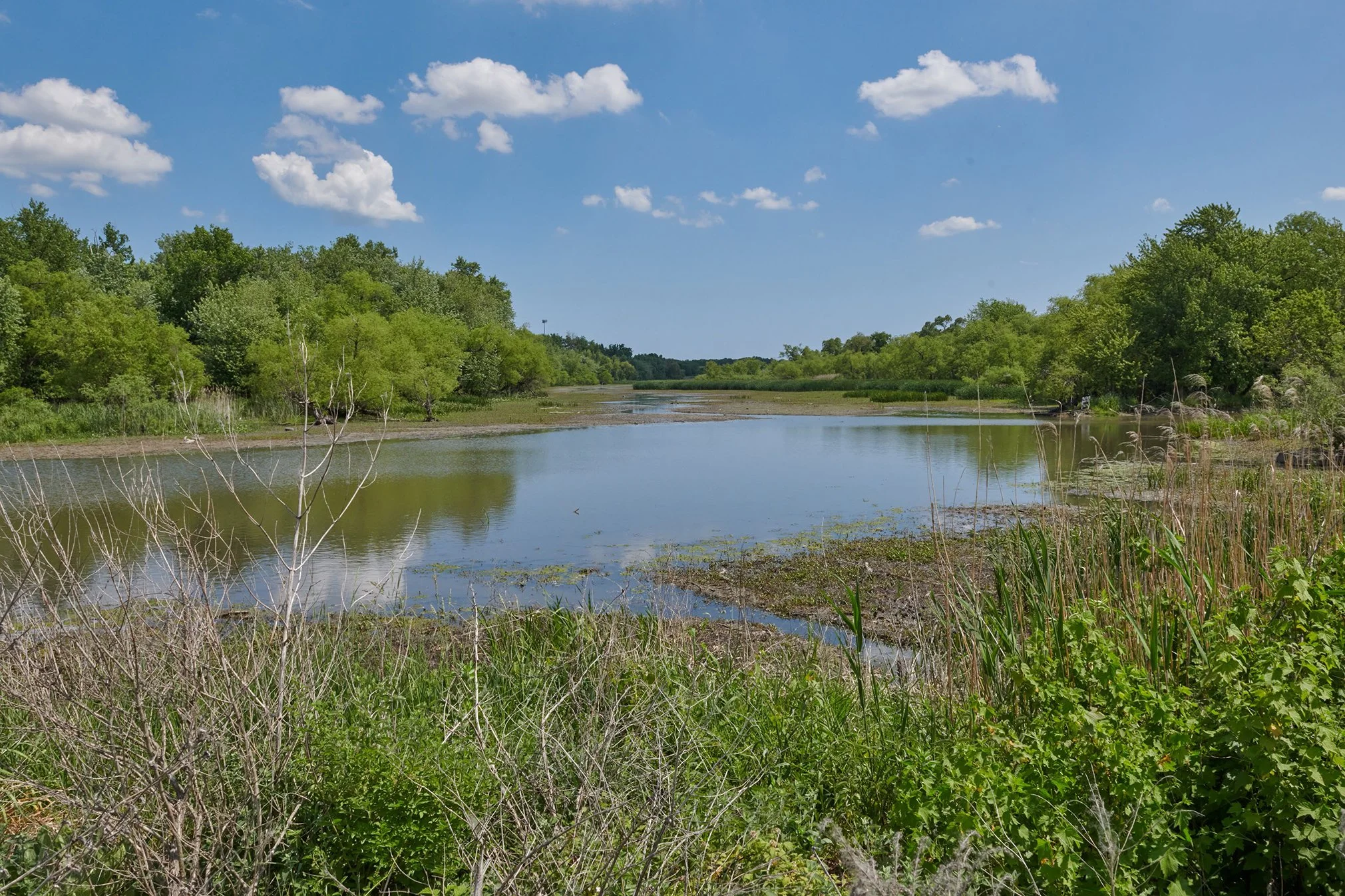
Tucked inside a levee system built for urban flood control, the West Branch of the Little Calumet River might not be the first place you’d expect to find one of the nation’s most ambitious wetland restoration projects. But that’s exactly what makes it one of the most important, the same system that controls floodwaters lets us manage water levels to create and sustain healthy wetland habitat.
Flowing east from Indianapolis Boulevard to the confluence with Deep River near Interstate 65 in northwest Indiana, the West Branch of the Little Calumet River runs for ten miles feeding over 2,000-acres of floodplain. This levee system was built to protect the surrounding urban areas, but has also provided a continuous corridor of habitat for wildlife and a direct connection to nature for the communities that surround it.
TWI helped lead the development of the West Branch Conservation Action Plan, the guiding document behind all the restoration work along the corridor. Read the plan.
The Wetlands Initiative targeted its work at sites along the corridor where focused intervention can unlock the greatest impact. Each location was chosen for its potential to respond to water level management and where hemi-marsh has the best opportunity to take hold.
TWI's work on the West Branch is done in partnership with The Little Calumet River Conservation Collaborative, a group of regional nonprofit organizations, municipalities, and land managers working to restore the West Branch of the Little Calumet River floodplain to diverse, functional habitat for the benefit of wildlife and local communities.
MLK South Wetland Restoration
105 acres | Restoration began: 2019 | Accessible via levee trail
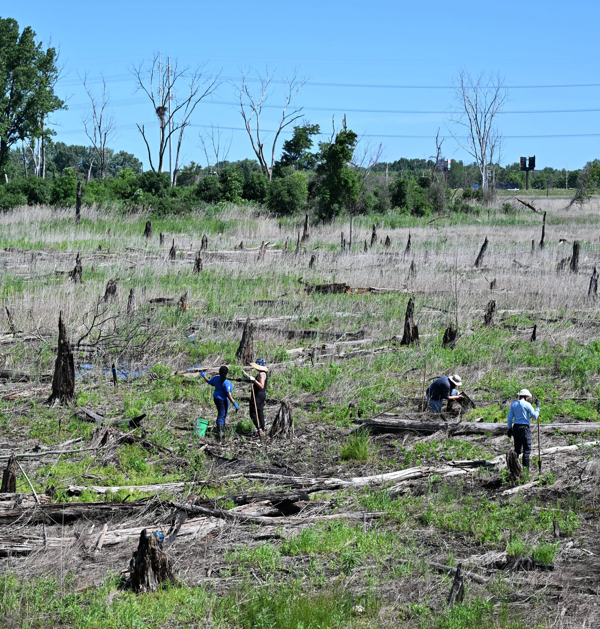
The MLK South Wetland sits south of the Borman expressway between Georgia St. and MLK Drive in Gary, Indiana, connected to the Little Calumet River by culverts to its northwest.
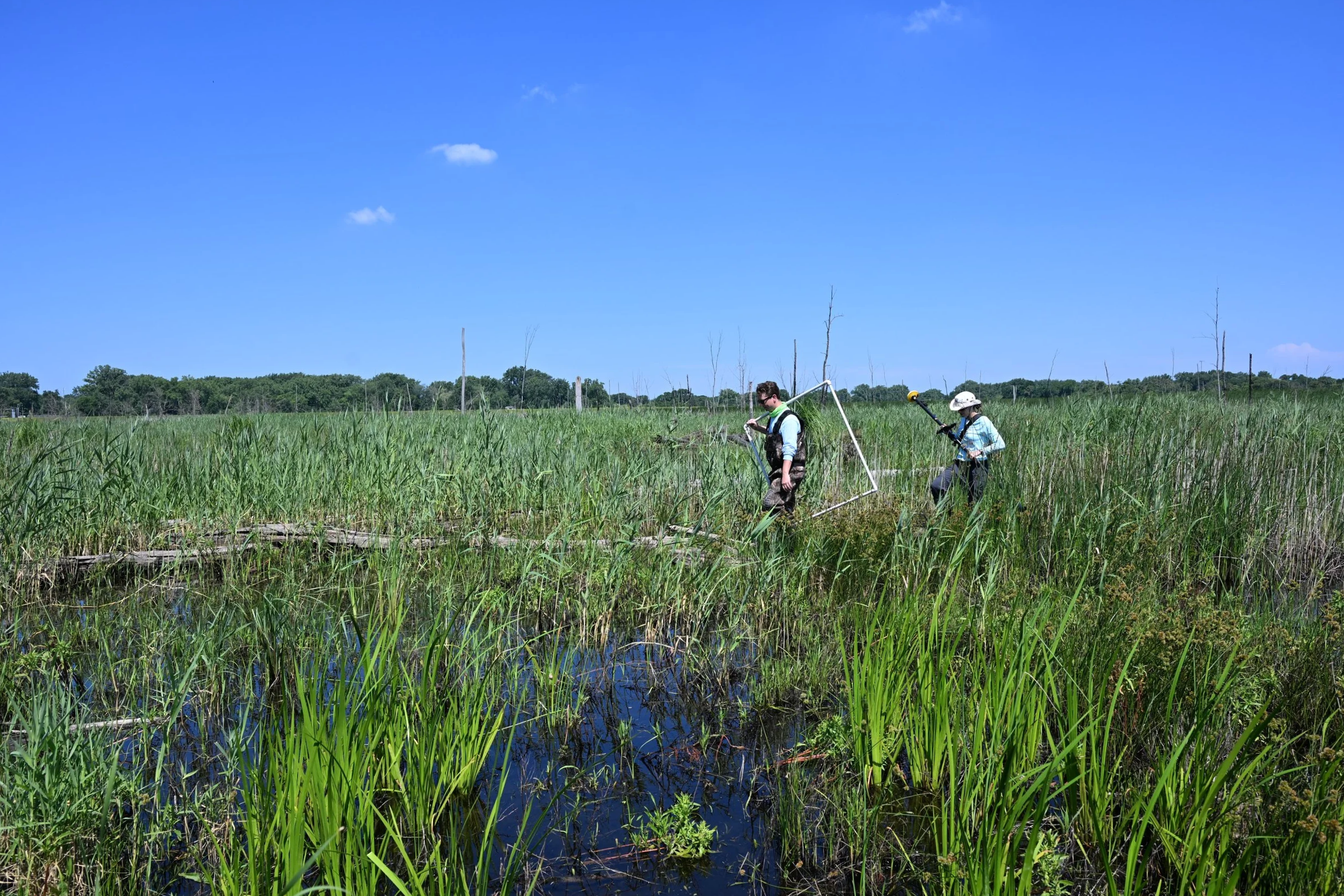
When they first arrived in 2019, restoration crews were met with large walls of common reed (Phragmites australis), a tall, fast-spreading invasive plant that had taken over much of this region’s wetlands. Since then, restoration crews, contractors, and volunteers have worked steadily to curb that growth and seed native plants. A water control structure was installed in 2023, allowing crews to recreate the natural rise and fall of water through the seasons. That rhythm is what makes common reed and other invasive species struggle and native wetland plants thrive.
Today, restoration continues at MLK South, and for the curious willing to seek it out, the reward is a wetland in the middle of its own comeback story. A variety of habitats are opening up, more wildlife is returning with a whole lot less common reed blocking the view.
Did you know?
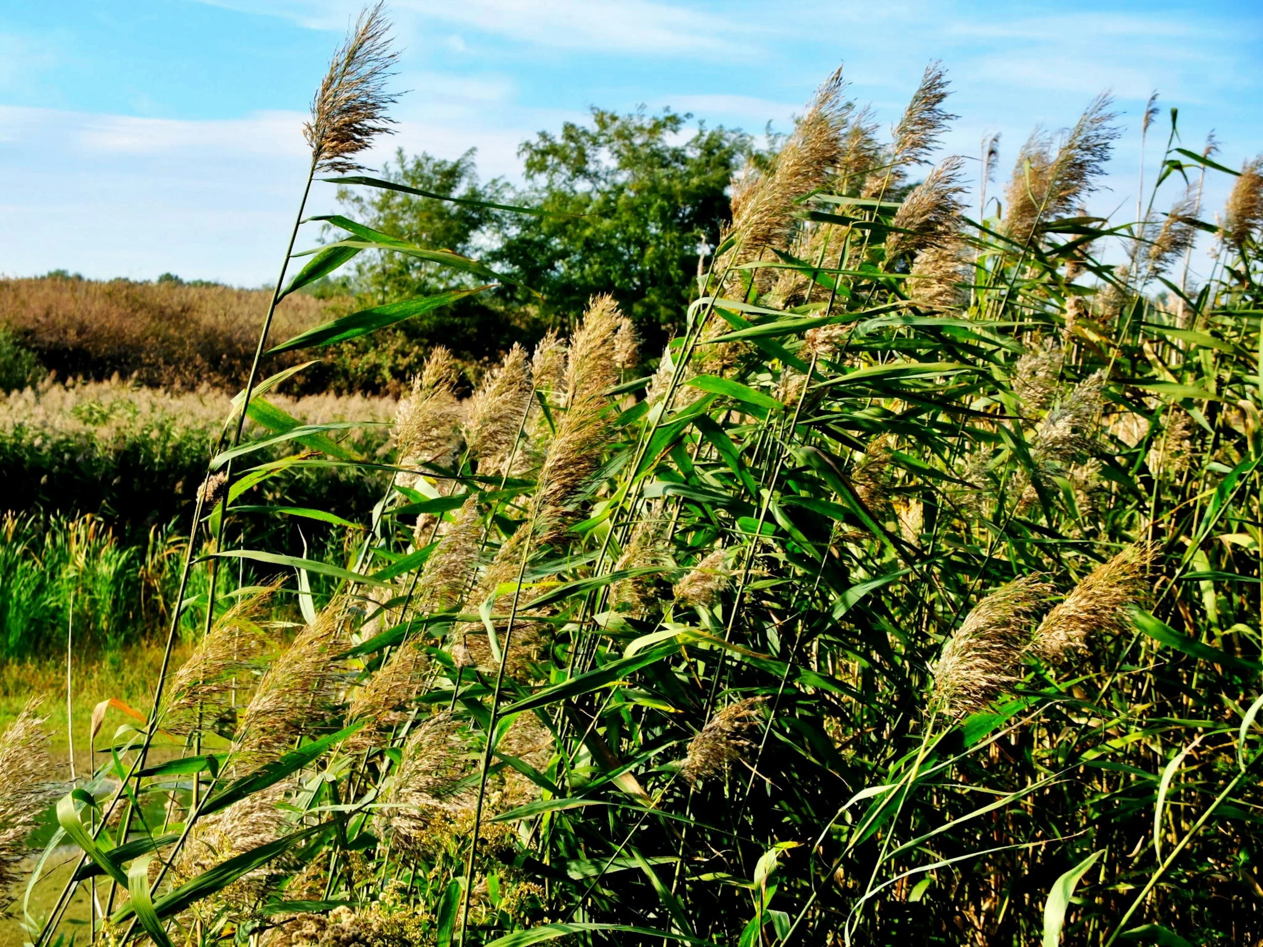
Common reed (Phragmites australis) is one the most aggressive invasive plants threatening North American wetlands. Left unchecked, it forms dense, wall-to-wall “clumps” or “stands” that crowd out native species and leave little room for the critical plants and open water wildlife depend on. Tackling common reed is one of the first steps in every restoration project in the West Branch corridor.
Highland Rookery Restoration
123 acres | Restoration began: 2019 | Visitor amenities available
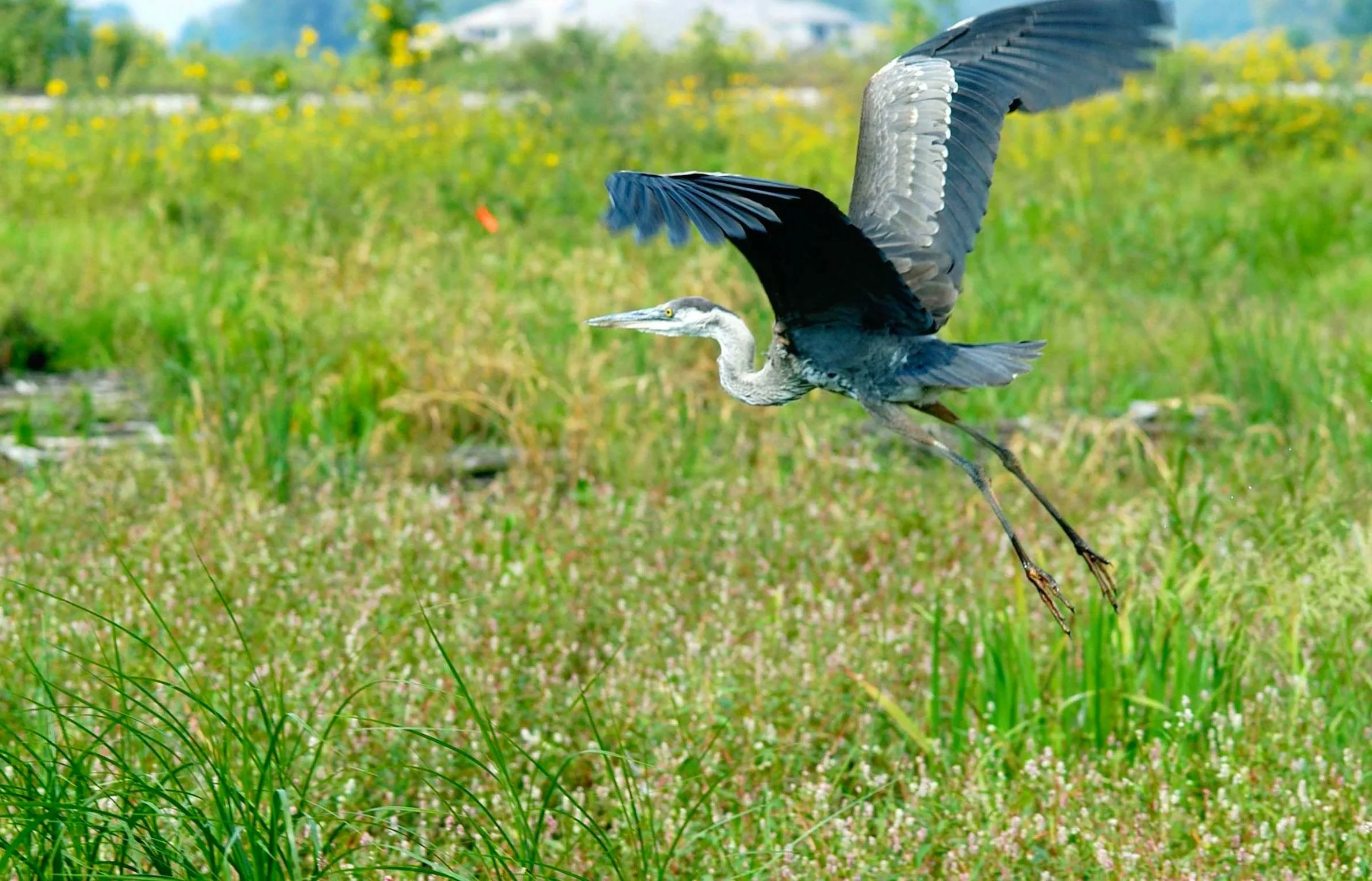
Highland Rookery gets its name from its history. Once home to a colony of nesting Great Blue Herons, the site carries that legacy forward even though the colony has long since moved on. In spite of that change, a diverse bird population still remains. This recovering wetland is home to many waterfowl like egrets, killdeer, and occasionally secretive marsh birds like sora and rails; all are a reminder of what this place has always been.
Already a cherished nature space for the surrounding community, Highland Rookery was a natural fit for restoration. With the site partially owned by Collaborative partner The Nature Conservancy, the team was able to move quickly and effectively, a perfect example of what this partnership was built to do.
Since 2019, restoration work has focused on clearing invasive species like common reed (Phragmites australis), reed canary grass (Phalaris arundinacea), and Canada thistle (Cirsium arvense). A water control structure added in 2022 gave the team the tools needed to usher hemi-marsh back into a landscape it hasn’t seen in decades.
Today, Highland Rookery is the most accessible site along the West Branch, complete with parking, benches, and viewing scopes that put the recovering wetland right in front of you. Come for the birds, stay for the view.
Did you know?
Great Blue Heron rookeries (large breeding colonies) are naturally on the move. When they decide to stick around a while, they like to build their large nests in tall trees and forage in the waters below. And when the time comes to move on, it’s ok! It usually isn’t a sign of something gone wrong. It’s just how herons work. In fact, the sites they leave behind continue to support a variety of other birds, just like at Highland Rookery.
Chase Street Wetland Complex
800 acres | Active since 2024 | Accessible via levee trail
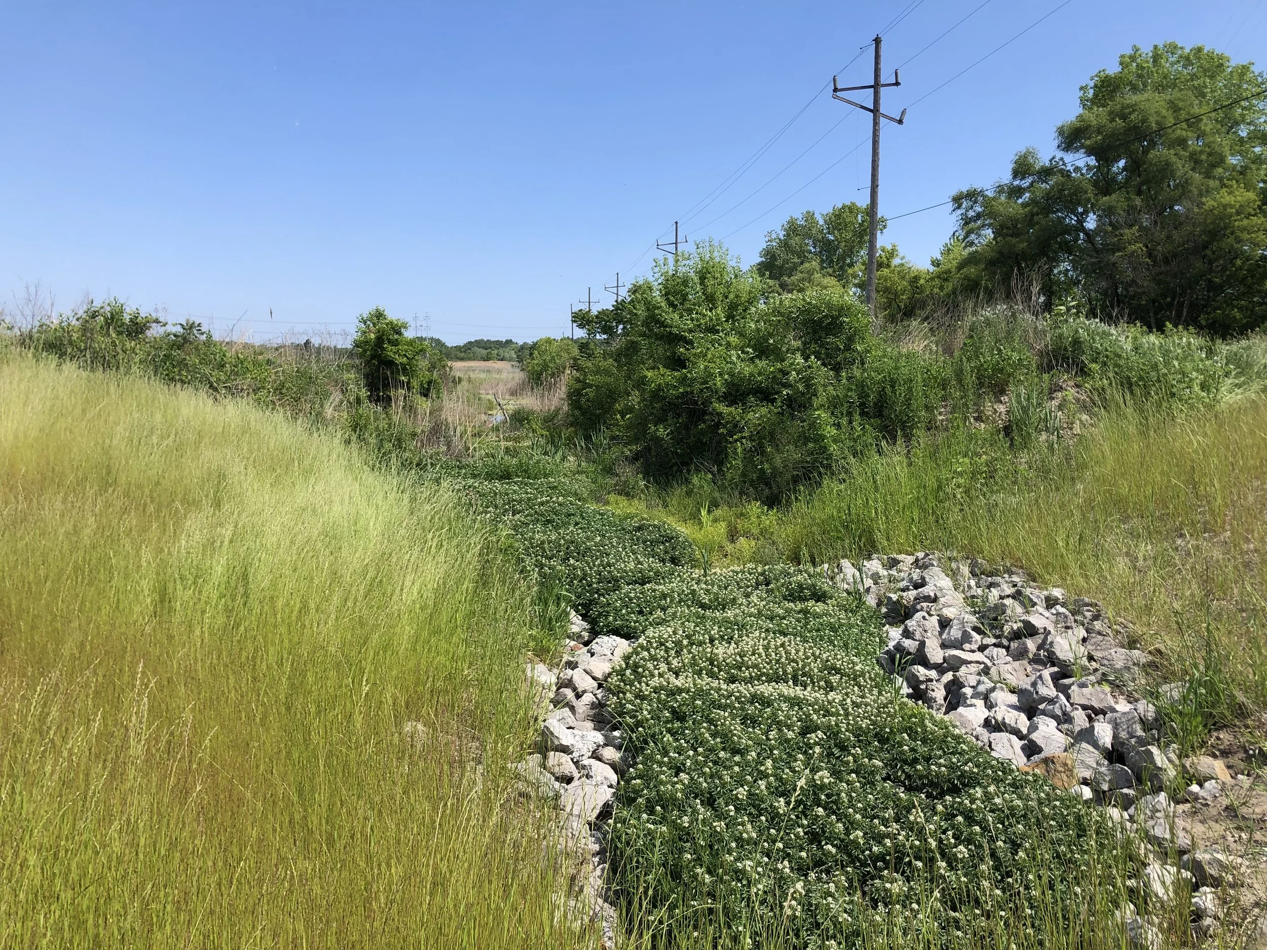
The Chase Street Wetland Complex is the largest site along the West Branch corridor and one of the most ambitious restoration projects underway anywhere in the Calumet region. At nearly 800 acres in Gary, Indiana, it represents a significant opportunity to transform habitat, build flood resilience, and create publicly accessible green space for residents of Gary and greater NW Indiana.
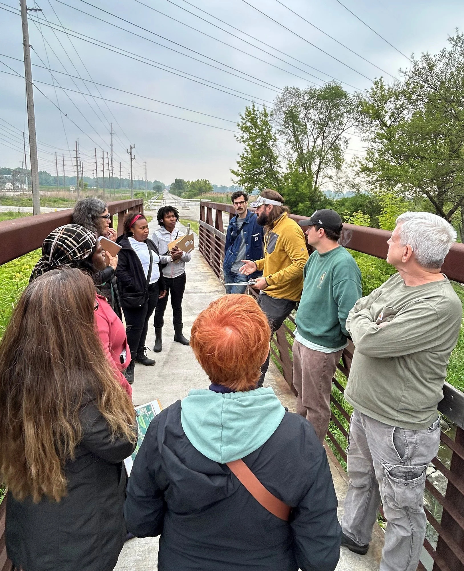
What makes Chase Street different from any other site on the West Branch is how the work is being done. Working closely with partners, TWI has led the creation and management of a Community Advisory Board made up of Gary residents who are directly involved in shaping the site’s design. The Board brings the voices and priorities of the surrounding community into the decisions made about this land.
“The goal is to make sure the Chase Street Complex design process centers amenities that people here really want and need.”
The restoration plan includes a re-meandering of a stretch of the heavily altered Little Calumet River, adding flood resilience for the surrounding area. When complete, the site will include public access and recreational opportunities along one of the most significant stretches of the West Branch corridor.
Grant Street Wetland Restoration
208 acres | Restoration began: 2021 | Accessible via levee trail
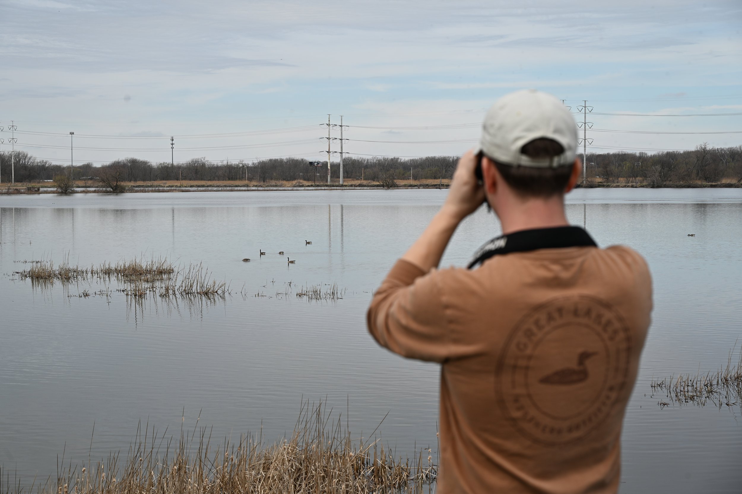
Of all the sites along the West Branch, Grant Street Wetland offers one of the clearest views of what restoration can accomplish, and of what's possible for the rest of the corridor.
Part of the larger Chase Street Wetland Complex in Gary, Indiana, Grant Street sits south of a channelized section of the West Branch of the Little Calumet River.
When restoration work began in 2021, the site looked like any other along the West Branch: a sea of common reed (Phragmites australis) with little room for anything else. Today, that dense monoculture has largely been cleared, opening up the water and making room for wildlife, while work continues to bring native plants back.
Walk the public levee trail along the east side of the wetland and you'll find waterfowl and marsh birds among the regular visitors. In the southeast corner, a healthy, stable hemi-marsh shows what this landscape can support when invasive reed is kept in check. It's exactly the kind of thriving wetland ecosystem TWI and the Collaborative are working to bring back across the entire West Branch corridor.
Marshalltown Marsh Complex
440 acres | active since 2019 | lead partner: audubon great lakes
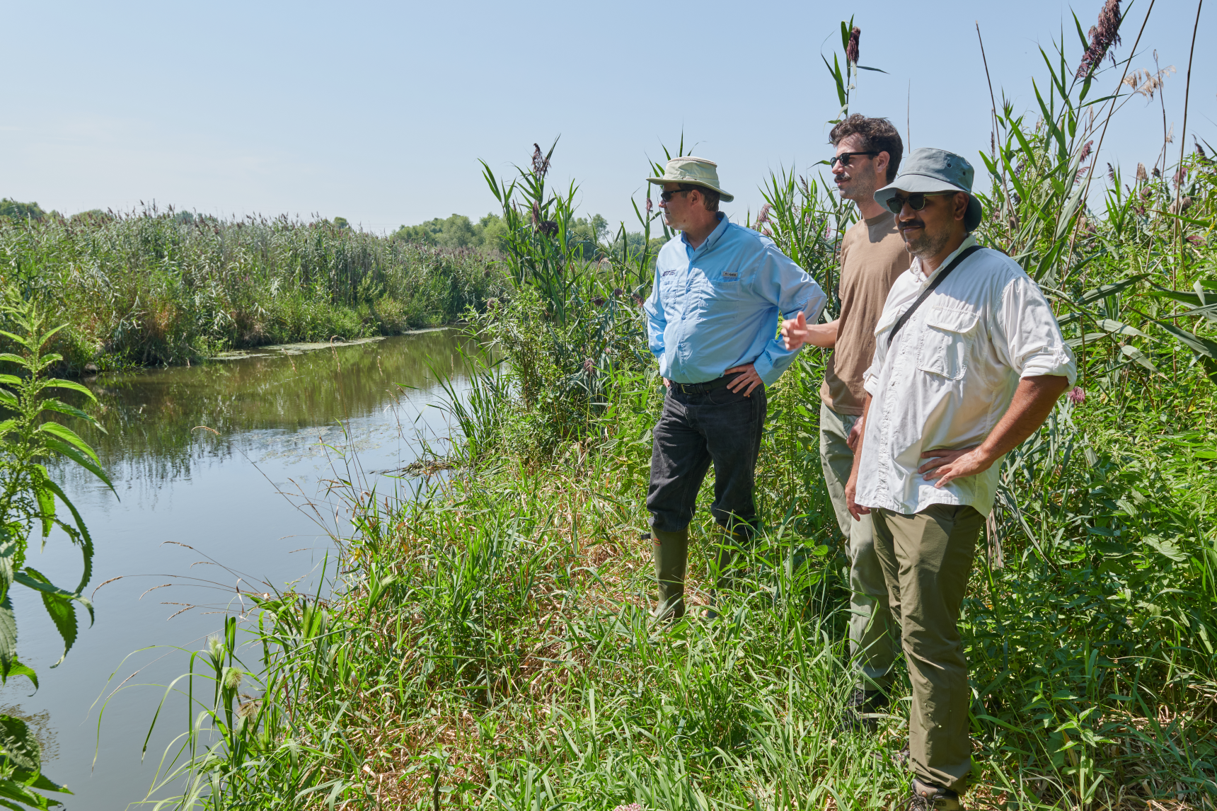
The Marshalltown Marsh Complex sits at the western edge of the West Branch corridor in Gary, Indiana, where the Little Calumet River run in an unnaturally straight line through nearly 400 acres of degraded floodplain. That altered channel is at the heart of what makes this site to significant and so challenging.
With support from TWI, restoration planning here is being led by Little Calumet River Conservation Collaborative partner Audubon Great Lakes, Together, we’re working toward a future where this stretch of the West Branch can support a diverse wetland complex and safe public access to the river.
The complex includes City of Gary’s Hatcher Park, named after Richard Gordon Hatcher, one of the first African American mayors of a major American city when he was elected as Gary’s mayor in 1967. The park holds deep community history and remains a beloved green space on Gary’s west side. Its woodland, savanna, and wet prairie also make is a natural stopping point for birds passing through every spring and fall. Once restoration is complete, Hatcher Park is poised to become a community gateway to the entire West Branch corridor, an entry to miles of connected habitat and public green space.
Just the Beginning
The five sites on this page represent years of work and hundreds of acres of recovering habitat. But the West Branch corridor stretches further, and the potential for restoration runs every mile. What started as a levee system built to keep waters out is steadily becoming something else entirely. It’s becoming a living example of what’s possible when you give a landscape the chance to come back.
Learn more about the organizations working to restore the West Branch of the Little Calumet River
news and updates